- Startseite >
- Messwerte >
- Speicher >
- Karte: Untere Donau
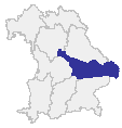
Speicher - Untere Donau
Vorhersage: 15.08.2025, 13:00 Uhr

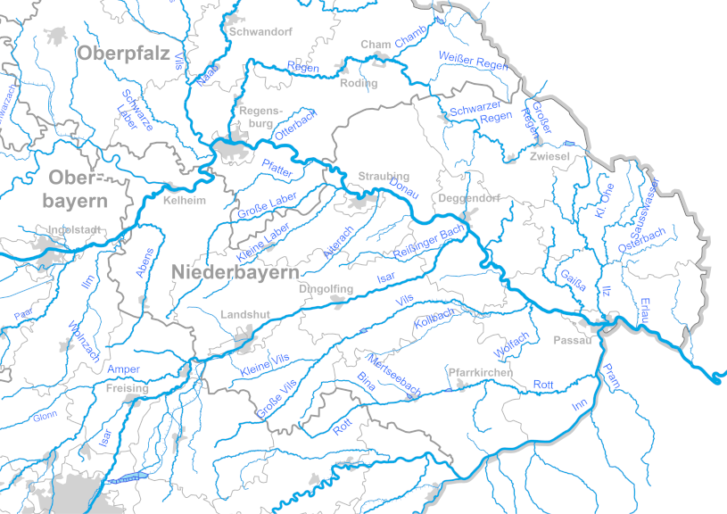
Einstau Hochwasser-Stauraum:  < 50%
< 50%  50-75%
  75%-100%
  außergewöhnlich
  > Höchstes Stauziel
 ohne Hochwasserschutz-Raum
Pegelstände vom:

Letzte Datenaktualisierung: Freitag 15. August 2025, 12:17 Uhr
© Bayerisches Landesamt für Umwelt 2025